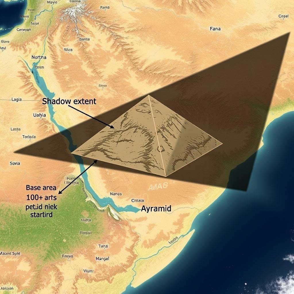
Image prompt
Satellite view: a shadow crossing three time zones
Mock satellite image (news-graphic style) showing the pyramid’s 100+ sq km base stamped into the landscape, with an exaggeratedly long triangular shadow stretching across a map overlay that includes time-zone lines. Add small label callouts: “Base area,” “Shadow extent,” “Visible from space,” and a tongue-in-cheek legend. Keep the terrain semi-arid so the geometric footprint reads clearly.