Image prompt
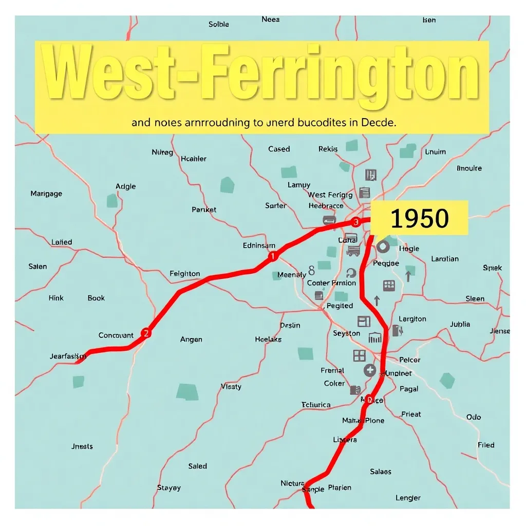
From town routes to a regional network (1950–1960)
Illustrated map graphic showing West-Ferrington and surrounding towns/villages, with bus-route lines expanding over the decade; include a clear “1950” minimal route in one color and “1960” broader network in another, plus a simple legend; visual tone: vintage cartography meets newsroom infographic.